Posts

Bikepacking the Odyssey of the VOG

I’d eyed bikepacking in the Oregon coast range quite awhile, so I wasn’t TOO sad to pivot from a fall bikepacking plan from Idaho after a forest fire messed up plans.

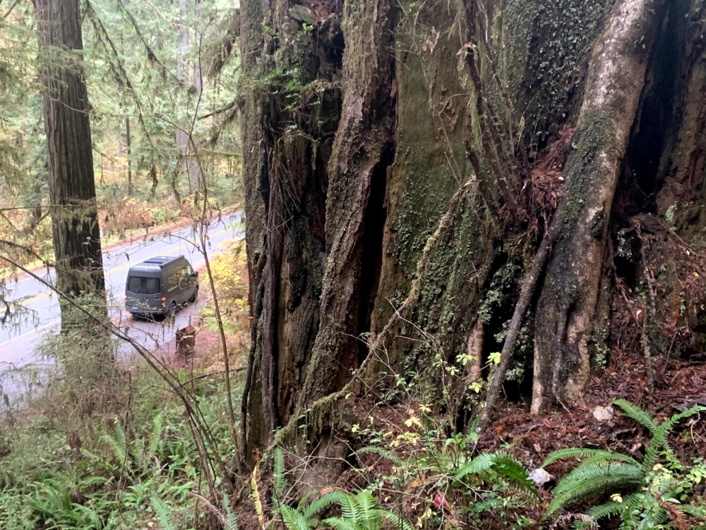
Luckily, my ultra-endurance bike racer friend Ben organizes a race in the coast range called the Odyssey of the VOG. (VOG=Valley of Giants, an old-growth stand of Douglas firs along the way.)

The VOG it was! My friends Brady, Tyler and I changed plans and met in Salem, Oregon to pedal out to the coast and back via some steep forest roads. With no research except downloading the GPS route, we were off.

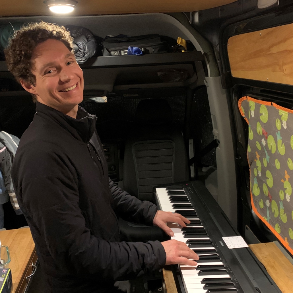
Overall, it was an excellent voyage starting in the hot summer of the Willamette Valley, crossing over the coast range to cool, misty coast weather up the Oregon Coast, and then reversing it. Nicely planned, Ben! (Also, thanks for hosting us the night before.)

Misty beauty along the coast. (Photo Brady Lawrence.)

Overview of the trip

Below is my trip report for bikepacking the Odyssey of the VOG. I wrote this as a resource for folks looking to bikepack this route, so free to skip to the specific sections below.

Nothing like break midday to soak in a cold creek. (Photo Brady Lawrence.)

Bikepacking Route Description

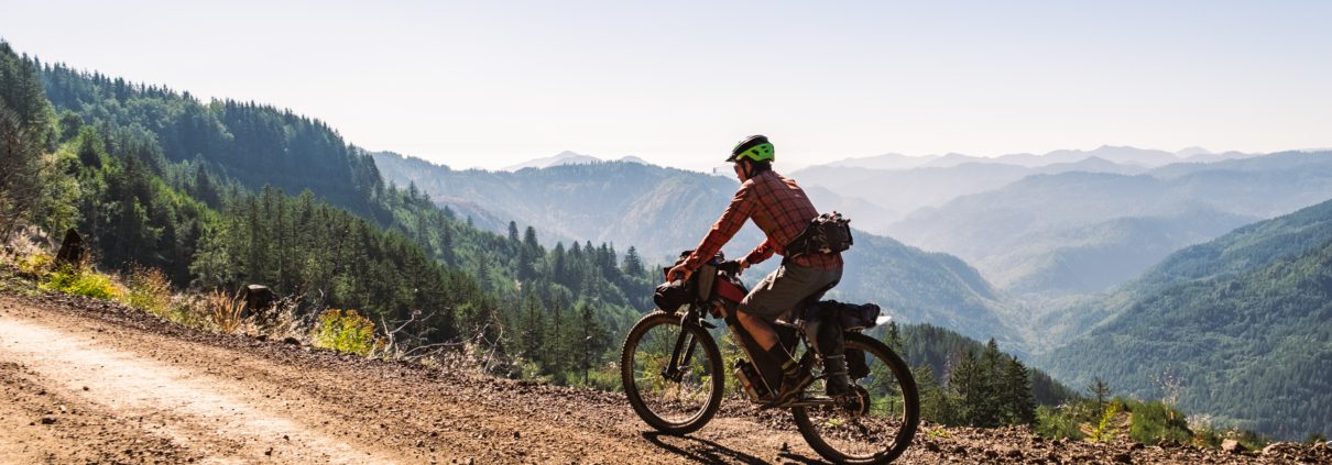
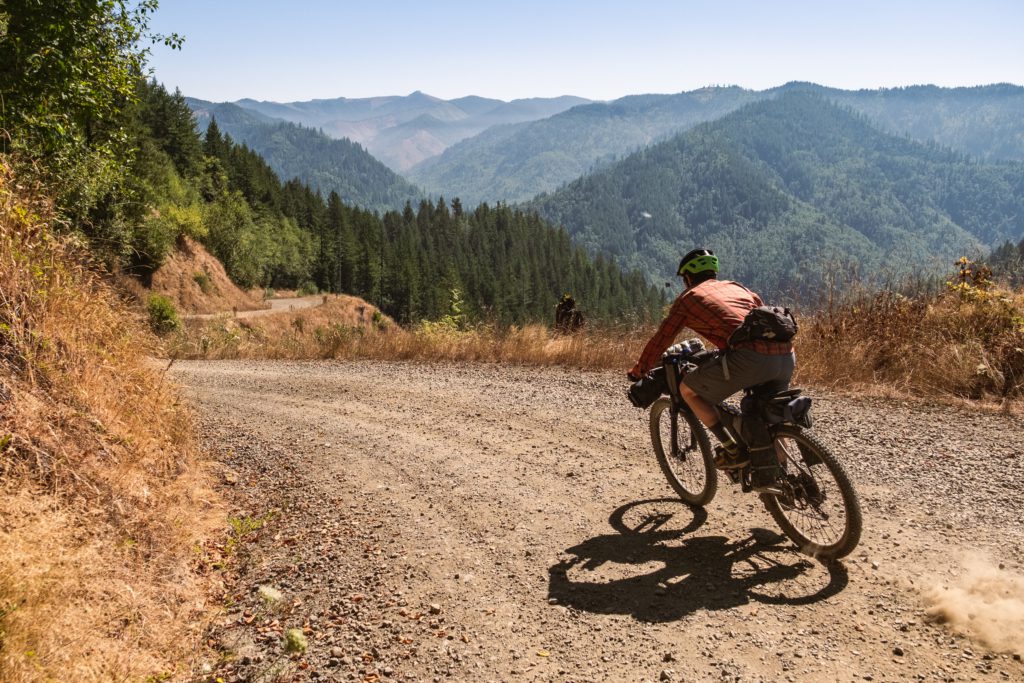
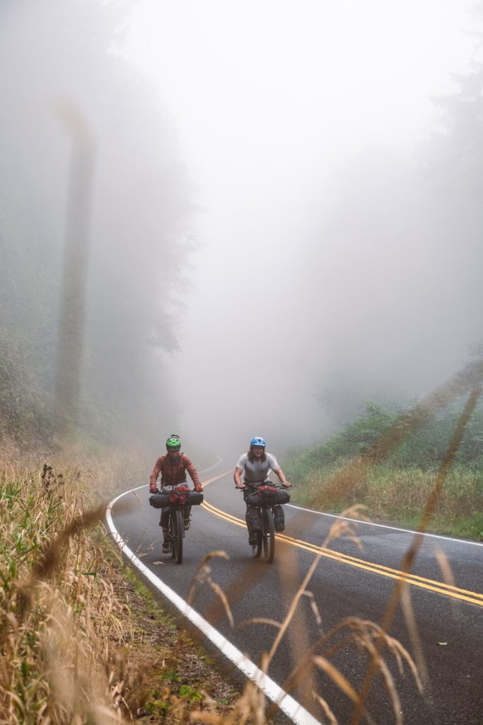
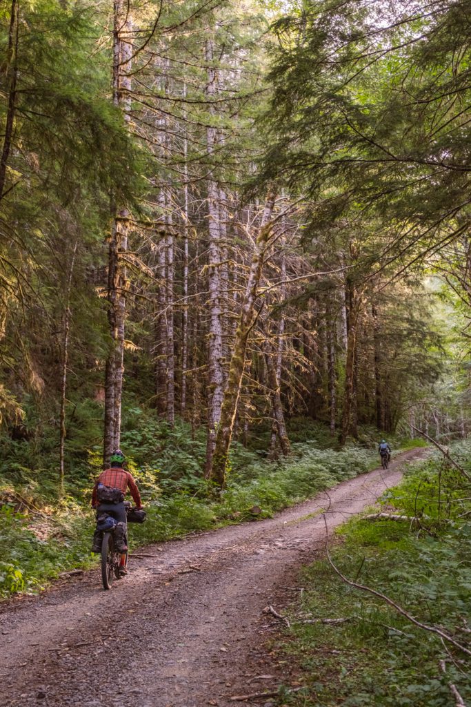
We spent six days wheeling in a clockwise loop from Salem to Pacific City on the coast and back. The route covers a mix of pavement and dirt logging roads.

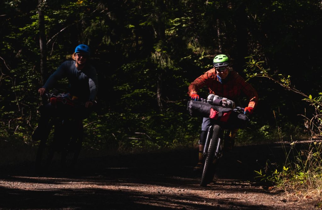
Fair warning that the logging roads are STEEP. We frequently ground up 15%+ grades. Pack light (I didn’t) and gear down (I did). My quads were pissed that I didn’t warn them in advance, although Brady and Tyler are unstoppable on a bike and were unfazed.

Also, those logging roads are used to, well, log. Oregon has a long history of clearcutting and we rode through our fair share of them. They aren’t serene forests, but I’m fine with seeing the reality of where wood comes from, and it further reminded me that clearcutting is so.incredibly.destructive.

Clearcuts suck.

Caveat: We diverged from the route at mile 236 to head straight to Salem because a) Tyler’s derailleur blew up under the force from his blunderbuss legs, forcing him to cut the trip short and hitchhike to Portland, and b) while we were still having fun, we were ready to have other fun. We’ve all toured so much that perfectionism ain’t the name of the game!

Instead, Brady and I headed straight south from Yamhill 50 miles to Salem on cruisy back roads. This cut out Hagg Lake and the final section through the foothills of the coast range.

Final fuel-up in Yamhill. (Photo Brady Lawrence.)

Highlights of the Odyssey of the VOG

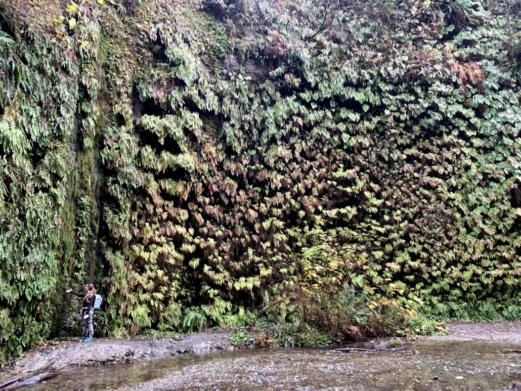
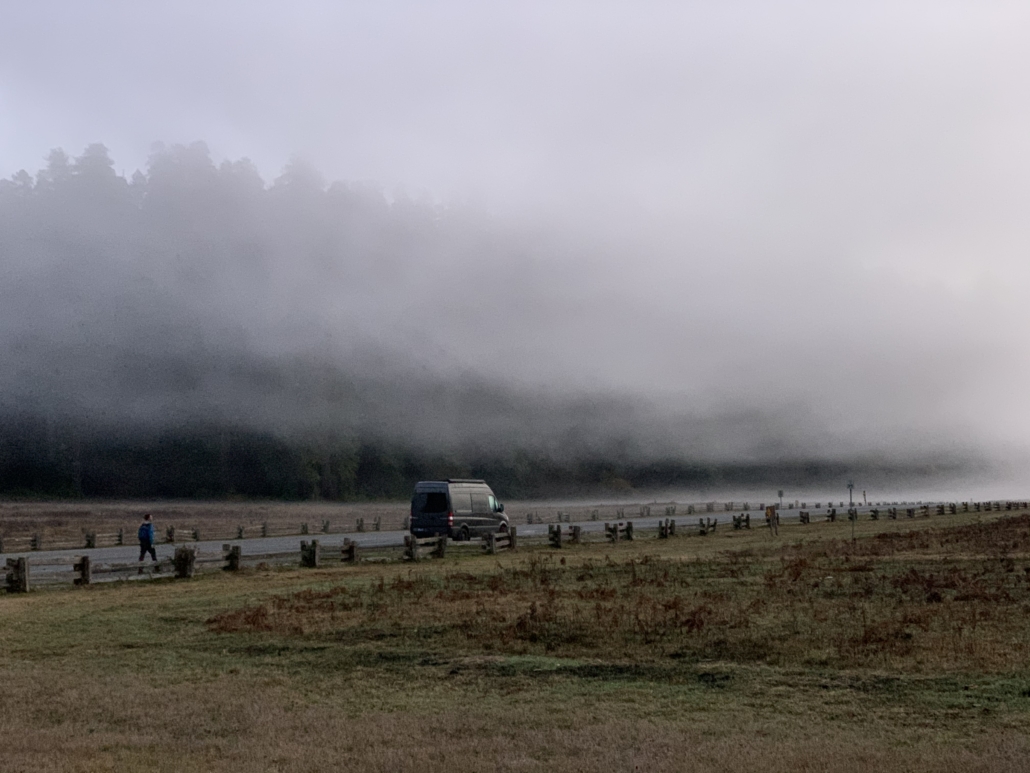
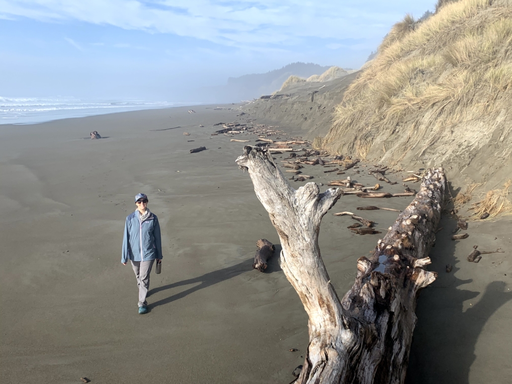
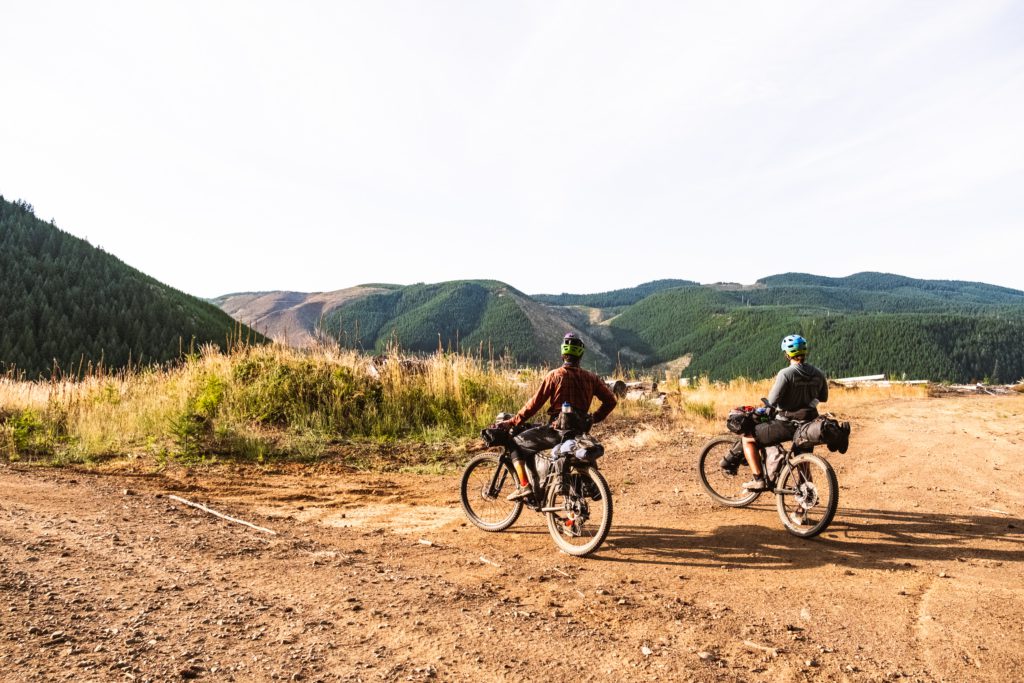
  • The shift in landscapes: farmland, coast range, ocean. From Willamette Valley farmland to the forested coast range with plenty of icy streams to the Pacific Ocean and back.
  • Eating at The Breadboard in Fall City! Amazing food, friendly, cheery owners and patrons. “Welcome to the gay Alps!” said the proprietor, something you nevereverever hear in a small rural logging town.
Somehow we each wound up doing a (totally sober) catwalk in front of a crowd of cheering people at The Breadboard.
  • Remoteness! Other than the coast and restocking in town, we saw basically no one.
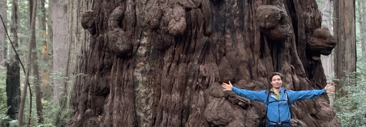
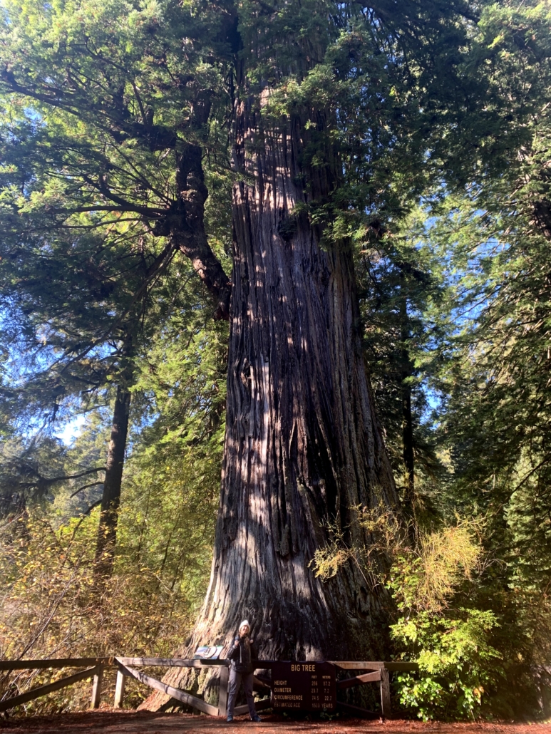
  • Hiking through the Valley of the Giants. (Tip: leave your bike at the top and hike down. Ask Brady how he knows.)
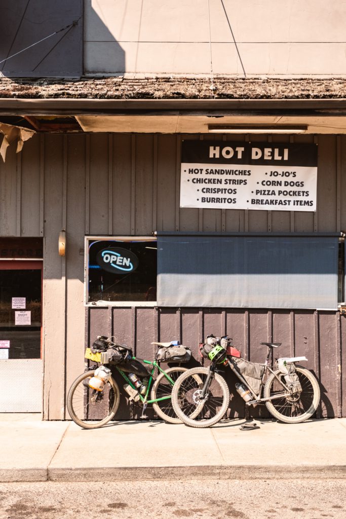
  • Restocking at American Market near Grande Ronde. Mmm, junk food.
  • The smooth, silky road north of Grande Ronde (offset by the grinder climb in the heat up to Lifesaver Lake, as I just renamed it).
  • The OMG-biking-is-wonderful descent from Mt. Hebo over the top of the coast range. From 95 degrees to 60 in 20 minutes of swooping descending, grins plastered on our faces.
Screaming down Mt. Hebo. (Photo Brady Lawrence.)
  • Finding a still-burning beach fire in Pacific City and enjoying a misty fireside chat.
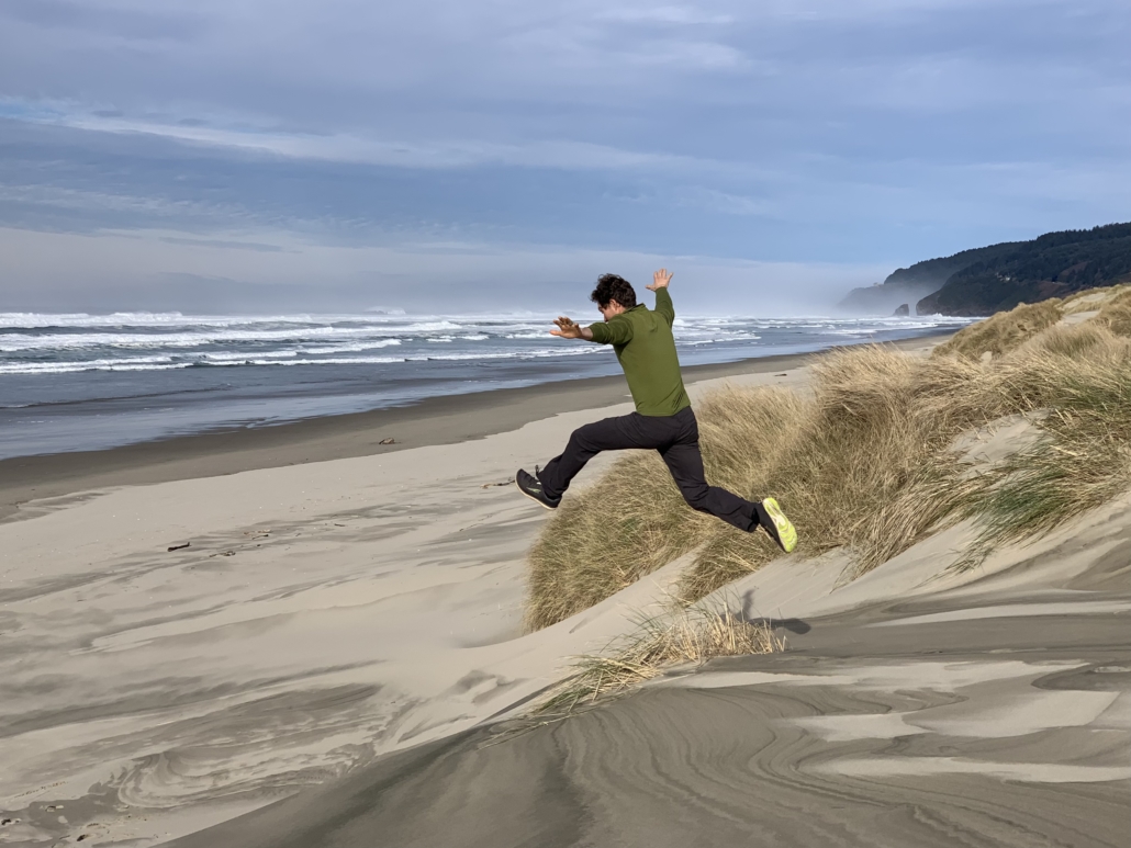
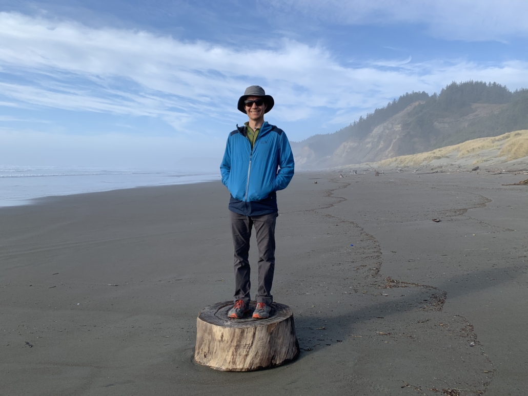
  • Pedaling up the coast with ocean views the entire way…and not too much traffic!
  • The small things: Watermelon. Fried potato wedges at a gas station. Coconut water. Conversation about science, photography, and how to live well. Uproarious laughter.
  • Surviving a hike-a-bike in 97 degrees up the world’s steepest fire road with water running low. One of those “is this worth it?” moments for me.
Brady enjoying the death hike-a-bike.
  • Kind strangers, always. The guy who came over just to show us his intricately carved walking sticks. The party-goers at The Breadboard in Fall City recommending places to camp. A goateed dude with two knee replacements who loves his ebike. The hunter who saved us with a gallon of water.
  • Easygoing comradeship with Brady and Tyler, two excellent travel companions!
  • Another injury-free, successful trip.
Lots of punchy uphill on this trip, but it sure made for smiles on the way down. (Photo Brady Lawrence.)

Dig this post and want more like it? Check out my free 2x/month newsletter for trip reports and much more.
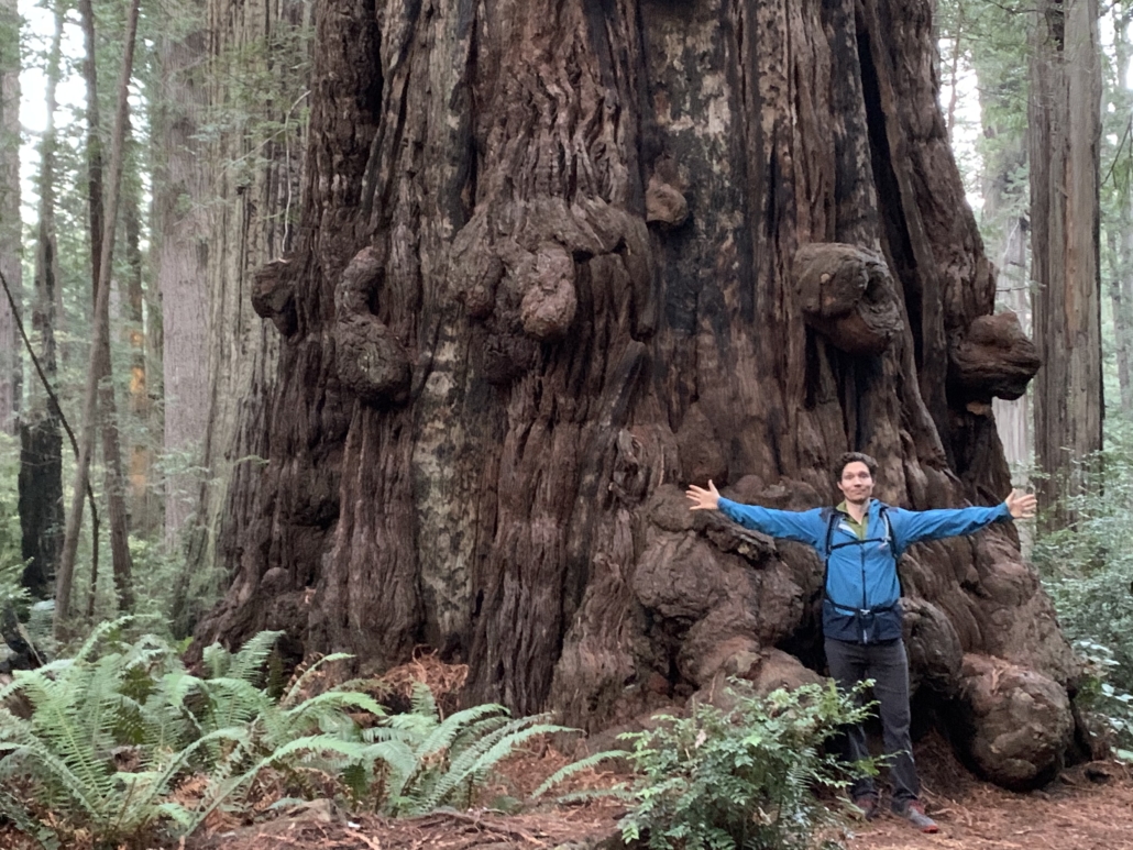
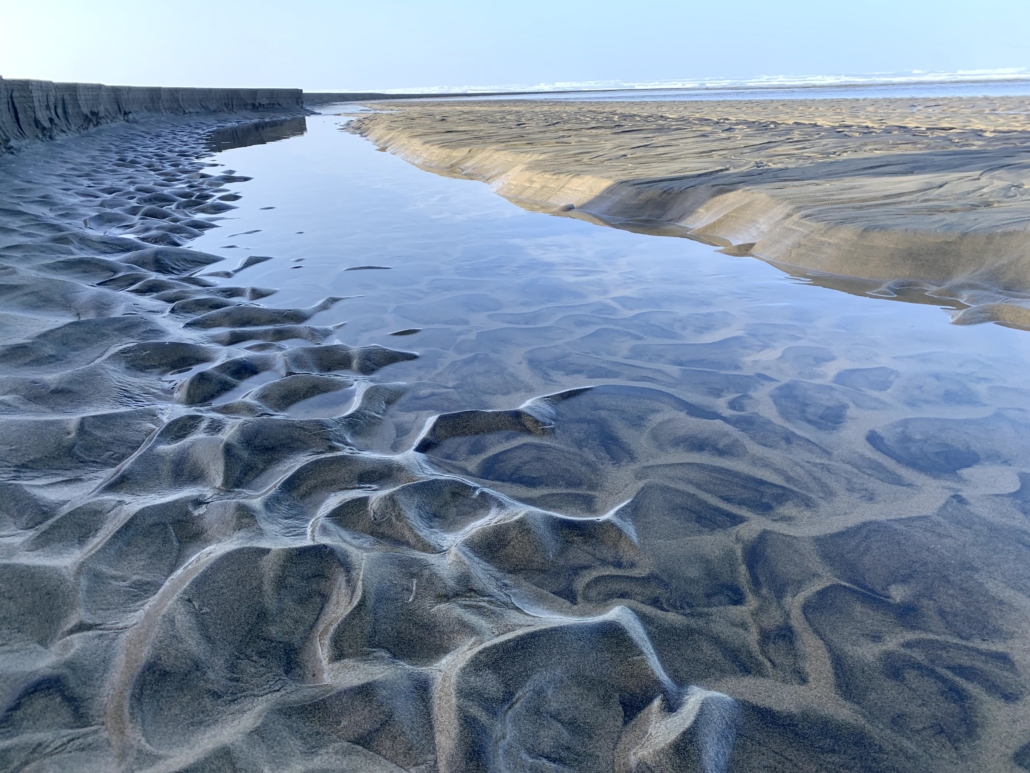
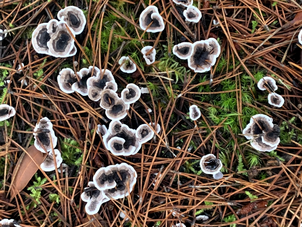
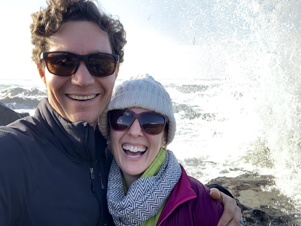
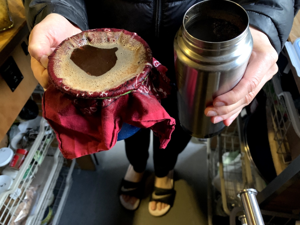
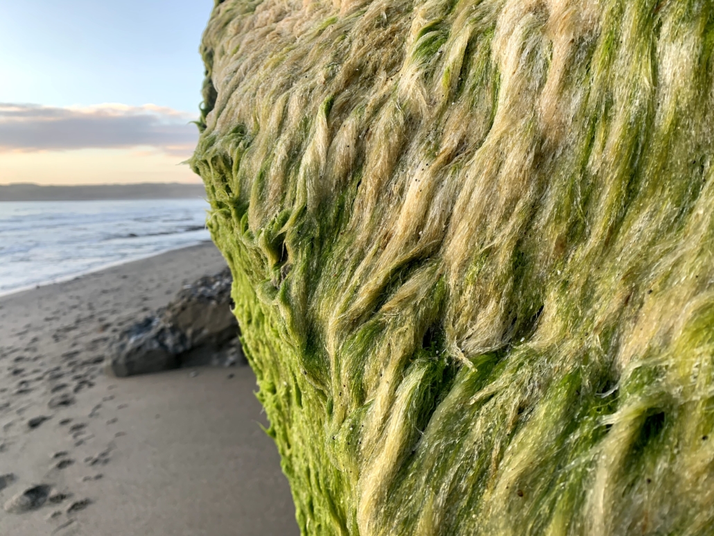
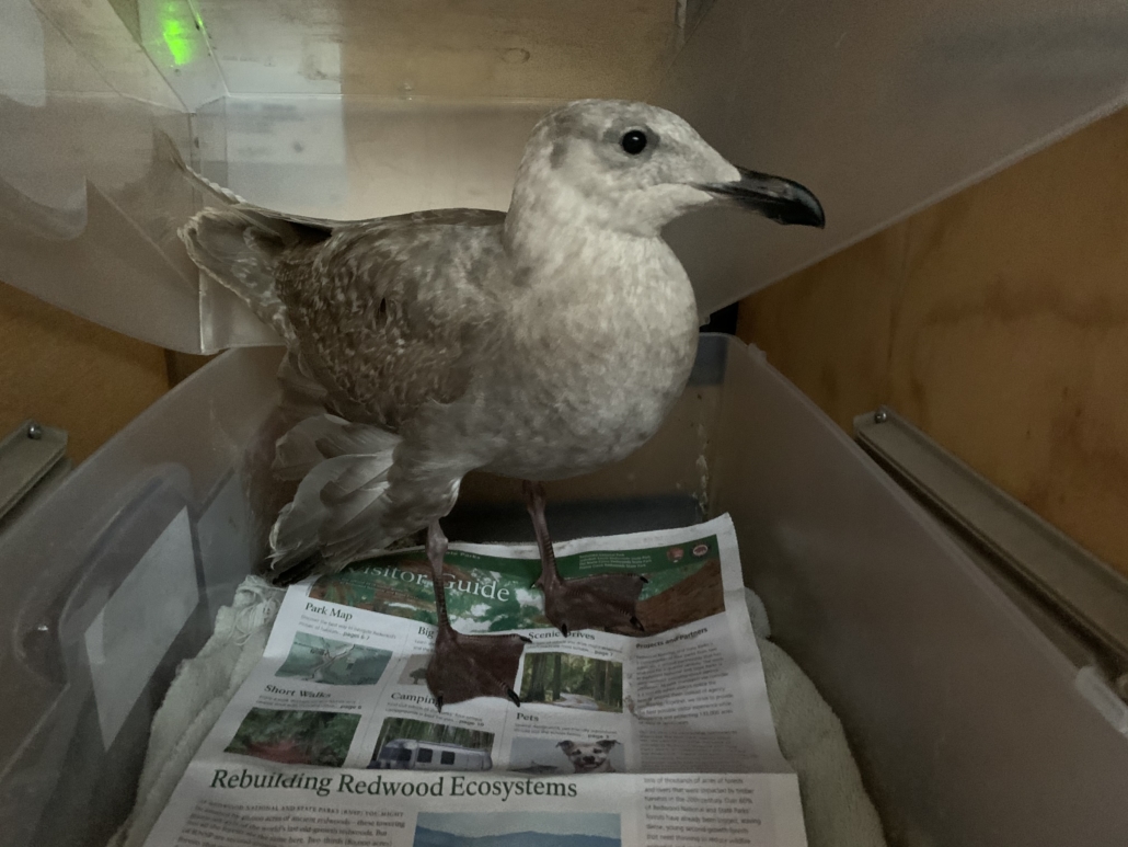
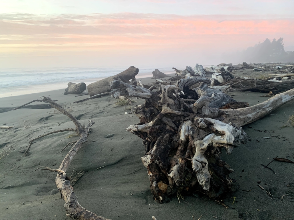
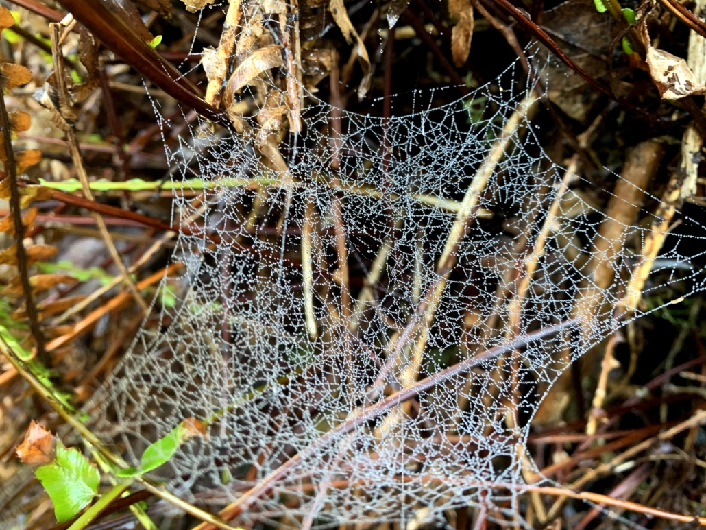
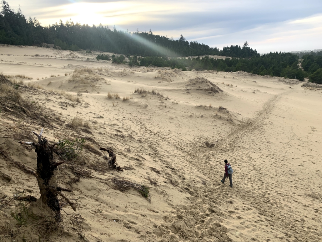
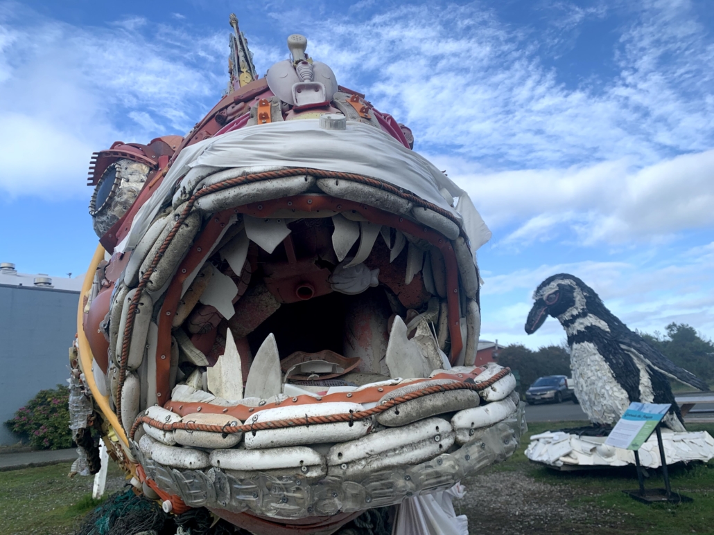
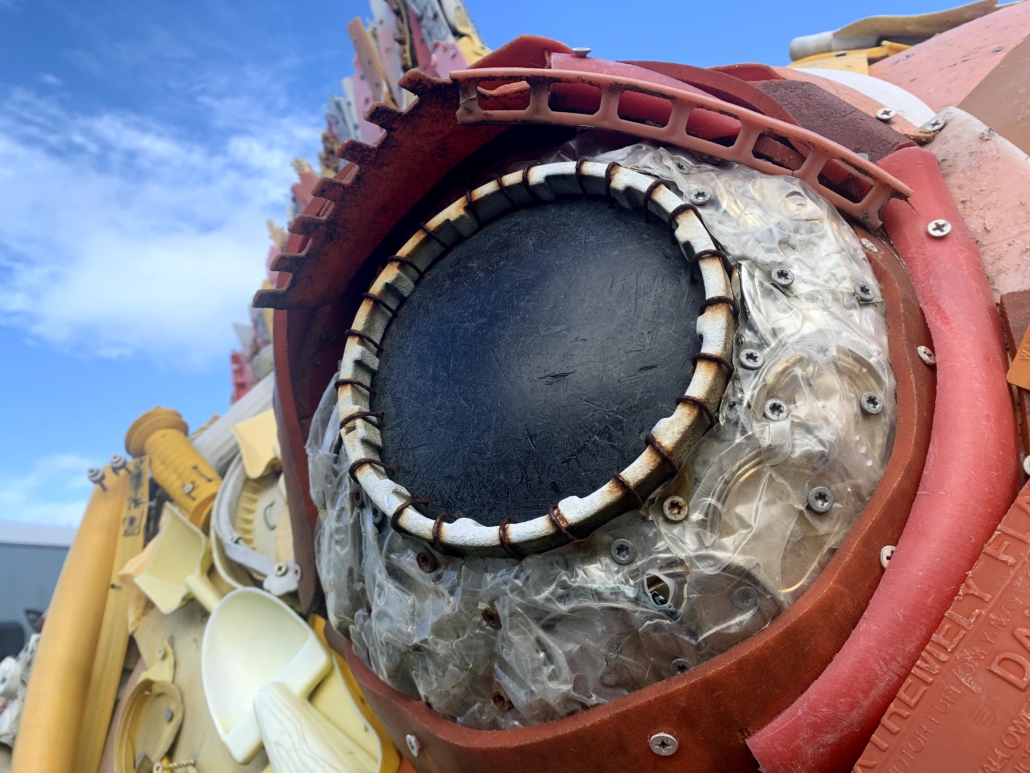
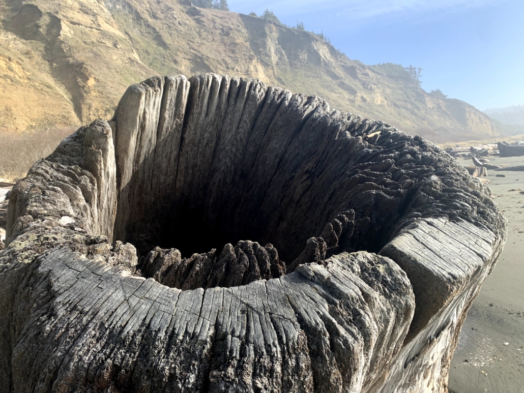
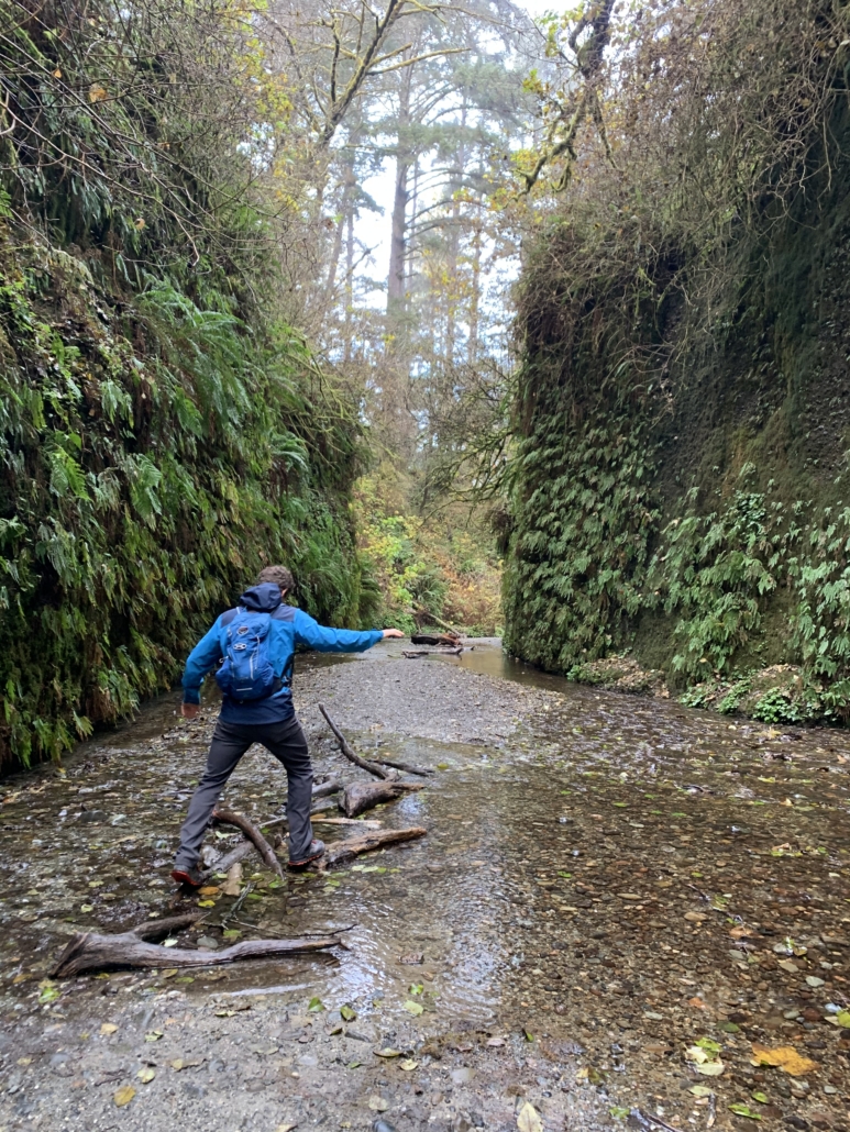
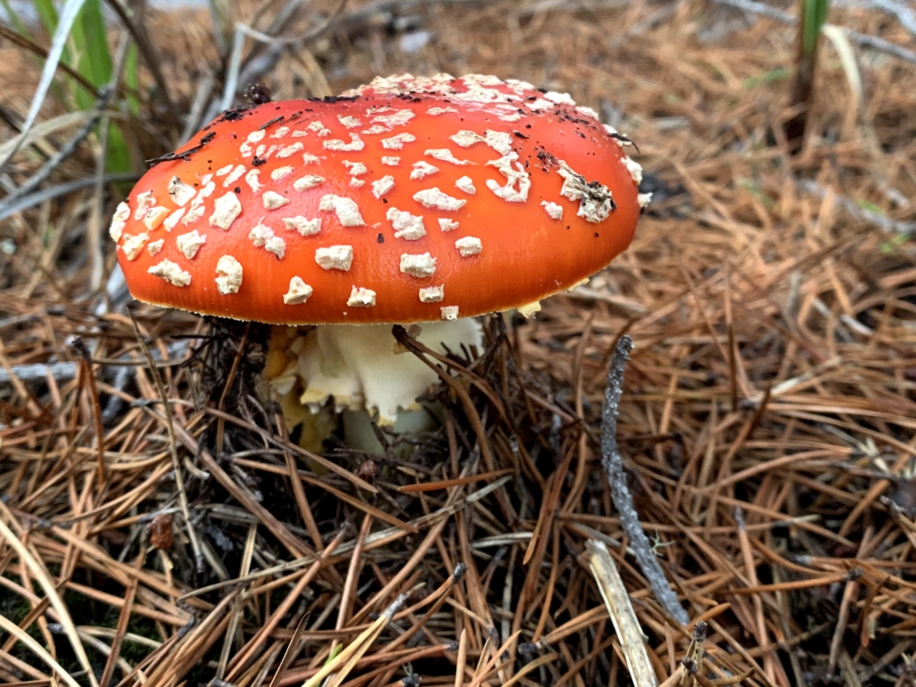
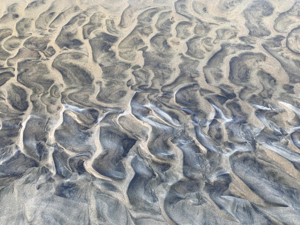
Photo Gallery

Here are some of my favorite photos from the trip. Brady’s eye and skills are fabulous. Click on a thumbnail and scroll through to see them uncropped and larger.

Logistics for bikepacking the route

Following the Ride with GPS route, our days lined up like this:

  1. Day 1: Salem to Fall City (53 miles and 4,900’ of climbing).
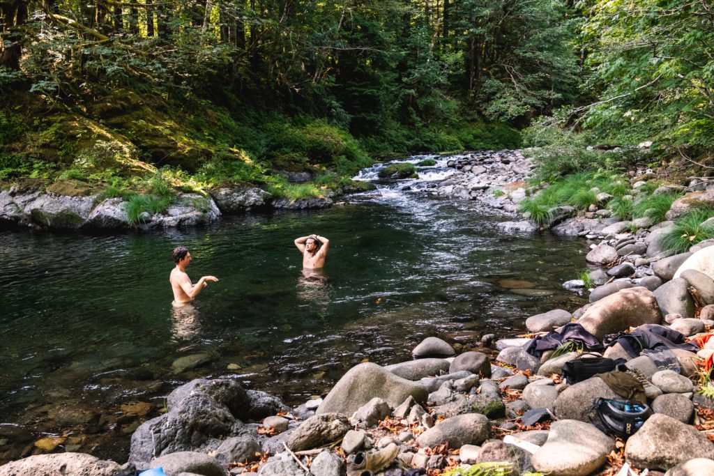
  2. Day 2: Fall City to a few miles past the Valley of Giants. A short (but punchy!) day with lots of swimming, plus a hike in the VOG. (35 miles, 4,555’ climbing)
  3. Day 3: To the coast at Pacific City! (56 mi, 5,500′ climbing)
  4. Day 4: Pacific City to east of Tillamook (51 mi, 3200’ climbing)
  5. Day 5: Ass kicker of a day: broken derailleur for Tyler, steep af climbs (59 mi, 7,000′ climbing)
  6. Day 6: West of Yamhill back to Salem (56 mi, 2,300’ climbing)

Tips and suggestions for the route

  • Swim in the rivers and streams whenever possible.
  • You can camp for free in the city park just outside of Fall City. It’s worth pedaling back up the hill after eating at The Breadboard, which is a must-do.
  • Bring a blinky tail light for the foggy coastal highway section.
  • Be friendly when you encounter vehicles/people on private forest land.
  • Stop at the Valley of the Giants! It’s worth it.
Hiking in the Valley of Giants.

Getting to/from start/finish

Either drive or catch a train to Salem.

Time of year

We rode this around Labor Day of 2022. It was smoking hot, which is obviously just part of the game sometimes. I’d vote late May into June or September to catch cooler weather and avoid rain.

Bonus to the heat: it makes the cold water feel even better. (Photo Brady Lawrence.)

Navigation

Navigation was straight-forward. I simply downloaded the route GPX from RidewithGPS.com and used Ride with GPS to navigate. The app is easy to use and you can use the paid, offline version for just one month at a time.

Food

As usual, I rolled on a plant-based diet for this trip…and brought wayyy too much food. I’d planned for a 100% self-supported trip in Idaho and figured what the heck, I’ll bring a ton of grub for this trip.

Which was fine, except those roads are STEEP. And we were in towns every other day, so I did not need all the food. My self-imposed nickname was Chuuuuck Wagoooon (always yelled loudly).

Nothing better after a long day of riding.

Water

Water is quite plentiful with streams or faucets on the coast. I used the Katadyn BeFree filter

Sleeping

I brought my Big Agnes Fly Creek UL2 bikepacking tent, but slept out under the stars every night but a misty, almost-raining night on the coast. 

Cell signal

You’ll have a signal up high, but the back roads of Oregon shut down any signal.

My bike setup for the VOG. Went a biiit heavy on the food to start!

Gear

I rode my 2019 Why Cycles Wayward V.1 set up with Terrene McFly  2.6” front and a 2.6” rear Maxxis. I run a 140mm front fork, which seems to handle most anything I’d want to ride a loaded bike down. It was overkill on this trip, but sections of logging roads were chunky enough that I don’t regret it!

Still loving my 26T chainring on my Wayward to complement the 11-46 Shimano XT setup I’ve got. It’s AWESOME. Spinning is the name of the game while bikepacking! You’ll never mix your taller gears as much as you’ll wish for more climbing range, trust me. 

Rounding out my gear was a Revelate front roll bag for sleeping gear and a custom frame bag. I ran a lightweight T-rack from Tumbleweed Bicycles instead of a dropper bag, ski-strapping a dry bag to the rack. The weight is basically the same as a big dropper bag and functions much better. Sure, dropper bags LOOK cool, but are they truly uber-functional? I say racks still have a place.

Two Salsa Anything Cages rounded out the kit, one with my cook kit, another with water…and my REI lightweight chair, which I love having on fire road trips!

And that…is a wrap. Thanks again for setting up the route, Ben.

Grinding up a coast range climb. (Photo Brady Lawrence.)

Circling Back to the Oregon Coast and California Redwoods

Between the pandemic and smoke, we spent a biiit more time at home this year. (Anyone else?) Luckily, early December presented a (rare) clear weather window in the Pacific Northwest, so we packed the van and headed west to the ocean.

This wasn’t an adventure trip with Type 2 fun. Nope, this was a vacation, a chance to revisit areas we fondly remembered from kicking off our van trip in 2013.

We had simple goals as we drove over the Cascades: 1) turn our faces to the salty ocean spray during beach walks and 2) wander with necks craned back in the towering redwoods of Northern California. 

Since covid disclaimers are all the rage, here’s ours: other than gas fillups, we were completely self-contained and alone for the entire week. Well, we rescued an injured seagull, but I don’t think they can catch the virus…

For those Googling for specific hikes and campgrounds, skip ahead to the section.

Waldport beach
Beach walking near Tillicum Campground.

The Beach

Travel in mountains stokes me with possibilities, but the beach acts as the ultimate grounding agent. Standing next to a massive body of water strips away day-to-day worries for both of us.

The southern Oregon coast is special because it’s a mix of treed areas and dunes, with steep cliffs interspersed with perfect sand beaches. We’d hike through an emerald green tunnel and then burst into the sun onto rolling dunes as far as we could see. The contrast is fantastic.

We leisurely skipped our way south in the van, stopping to camp, hike, or eat meals at vistas. Our only headache was toasted batteries – they’re five years past replacement age. New ones incoming soon.

Enough about the beach. Off to the redwoods!

The magical Alder Dunes area north of Florence.

The Redwoods

Time scales for redwood trees are too long for my brain to really grasp. Take the 1,500-year-old Big Tree in Prairie Creek Redwoods State Park as an example: when colonialist settler loggers first arrived in the 1850s, the tree had lived 90% of its current life. Somehow it survived the axes and is part of the 5% of remaining old-growth redwoods.

At 286 feet tall and 25 feet in diameter, the footprint is a fair portion of most houses and is as tall as a 30-story building. According to The Hidden Life of Trees, if humans were able to digest wood, one that large could feed us 3,000 calories a day for our entire lives.

big tree prairie creek
The Big Tree. 1,500 years old, 75 feet around and 286 feet tall. Each gnarled branch looked like it was 500 years old!

Next to such majestic, old beings, humans seem small and short-lived, skittering about our frenetic little lives in the time a redwood grows a few more inches in diameter. Hiking beneath them feels like traversing nature’s cathedral, a quiet, reverent place where anything over a whisper feels rude.

One fascinating aspect of redwoods is the ability of their seeds to sprout on the stumps of their fallen forefathers. The little seed taps into the root system of the elder tree, gaining access to the vast subterranean network of nutrients. Tree lottery winner! The symbiosis of the trees is clearly apparent, with the gigantic snags often circled by their offspring.

Since there is no possible way to fully capture the coast and redwoods in words, I’ll end this here. Instead, below are some of my favorite photos from the trip, which of course don’t capture it either.

fern canyon hike
In the heart of the marvelous Fern Canyon in Prairie Creek Redwoods SP

Resource List: Campgrounds and Hikes

First, a quick list of our favorite campgrounds and hikes on the Oregon Coast and California redwoods during our trip.

A note to van lifers: While we usually boondock camp, most coastal property (other than the entirely-public beach) is private. I was happy to pay for the pleasure of empty campgrounds with beach access. 

I noticed that iOverlander moderators have closed many camping spots due to overuse and complaints from locals. For an impacted area like the coast, I think paying for a site is the way to go. We can boondock camp in the desert and wide-open national forests!

For summer, book six months ahead of time for the coast and the redwoods. I prefer the off-season. Sure, the weather is iffy and it gets dark early, but there are ZERO crowds. 

Fog rolling in at Prairie Creek. In the summer, this road is lined with cars.

Oregon Coast (from Waldport to CA border):

  • Tillicum Campground: campsites overlooking the massive beach south of Waldport. For $25 a night, you get a million-dollar view. The beach offers endless walking opportunities.
  • Alder Dunes Campground & hike: a secluded spot north of Florence with a 6ish-mile hike from camp through tree tunnels and over dunes to an empty beach.
  • Tahkenitch Dunes hike: this hike spends a mile deep in the coastal rainforest before bursting out onto the dunes. Mushrooms were everywhere! For reference, there’s a campground at the trailhead, though it was closed.
  • Cape Blanco hike: Oregon’s westernmost point! The lighthouse is cool, but my favorite part was getting down on the beach and wandering through all the giant driftwood logs. We didn’t camp here, but there’s a state park as well.
Driftwood (and Chelsea) on Cape Blanco beach.

Northern California Redwoods:

  • Florence Keller County Park: most county parks resemble parking lots, but we pulled into this gem north of Crescent City to avoid dark, foggy conditions and WHAMMO were in tall trees with secluded spots. Many reviews say it’s the place to go during peak tourist months when everything books up.
  • Prairie Creek Campground: a stunning setting in the redwoods that must be absolute mayhem when it’s busy. In the off-season, it was quiet and provides access to many loops in the park.
  • John Irvine to Fern Canyon to Miner’s Ridge hike: try this ridiculously awesome 12-mile hike for variety. Miles and miles beneath 250-foot redwoods, then down into a canyon with walls covered in ferns, and then along a beach, where we saw Roosevelt Elk (they sport 4’ antlers, whaat). From there, you loop back through redwoods. A top-10 hike for me.
oregon mushrooms
Mushrooms!
  • Prairie Creek/Foothill/Circle/Cathedral Trail hike: all manner of options available here, but this 5-mile option goes by the Big Tree mentioned above plus other giant redwoods, overlooks spawning salmon habitat, and gives you a chance to see elk in the prairie.

Note: stop and wander down any of the short signed trails off the Newton B. Drury Parkway. Anywhere in the redwoods is worth seeing! 

Enough chit chat. Photos, go.

Yachats beach
What a trip to the beach does to us! (No, we didn’t get soaked by that wave.)
It wasn’t all easy though: Chelsea forgot the French press. This cowboy coffee kiiinda worked.
Thick seaweed (or something!) coating the rocks at Pebble Beach by Crescent City.
Our rescued seagull (Lefty), who Humboldt Wildlife Care took in. Not before he spent a night in the van though… Newsflash: seagull poop is stinky!
driftwood sunset
Sunset on the beach near Brookings.
Ocean-spray dew on a spider web near Yachats.
Out of the tree tunnels and onto the sand during the Tahkenitch Dunes hike.
A stop in the redwoods for a quick hike at one of the many pullouts.
Clearly this chunk of log on Cape Blanco was put here to stand on!
Two sculptures made of plastic at the Washed Ashore project in Bandon. They’re 8′ tall!
henry the fish washed ashore project
Henry the Fish’s eyeball from the Washed Ashore project. Check the detailing out.
Detail of Henry the Fish at the Washed Ashore project.
Henry’s scales.
washed up stump Cape Blanco
An old hollow stump on the beach at Cape Blanco. I could climb inside it!
Hopping logs over the creek in Fern Canyon.
Don’t eat these!
I forgot my headphone adapter, but Chelsea was nice enough to tolerate me playing my keyboard. (Stop pretending you don’t travel with a piano. Everybody is doing it.)
Let’s end with a puzzle: Dunes from 10,000′ or the beach from 3′?