Essential Apps for Your Next Camping Road Trip
Whether you’re road tripping for months or heading out for spring break, technology can make your life easier. A purist may insist a tech-free road trip is the way to roll, but I think most of us appreciate traveling with a smartphone.
People are always asking me about my favorite apps for car camping or rolling in a camper rig. (No restaurant or hotel-finder apps here!) Take the ones that seem helpful and skip the rest.
None will drive the car or van for you (yet). Still, most are free or cheap and worth checking out. I’ve linked to the main app page for iPhone/Android download for most of these rather than each one. Happy road tripping!
Finding a place to stay
Ultimate Campground – I tell every traveler about this app, which has saved us hundreds of dollars in camping fees over the years or helped locate paid camping. More importantly, we’ve used it to find beautiful, low-traffic spots to park the van away from the crowds.
US Public Lands – this is similar to the above – with better boundaries shown in most locations – and definitely worth checking out.
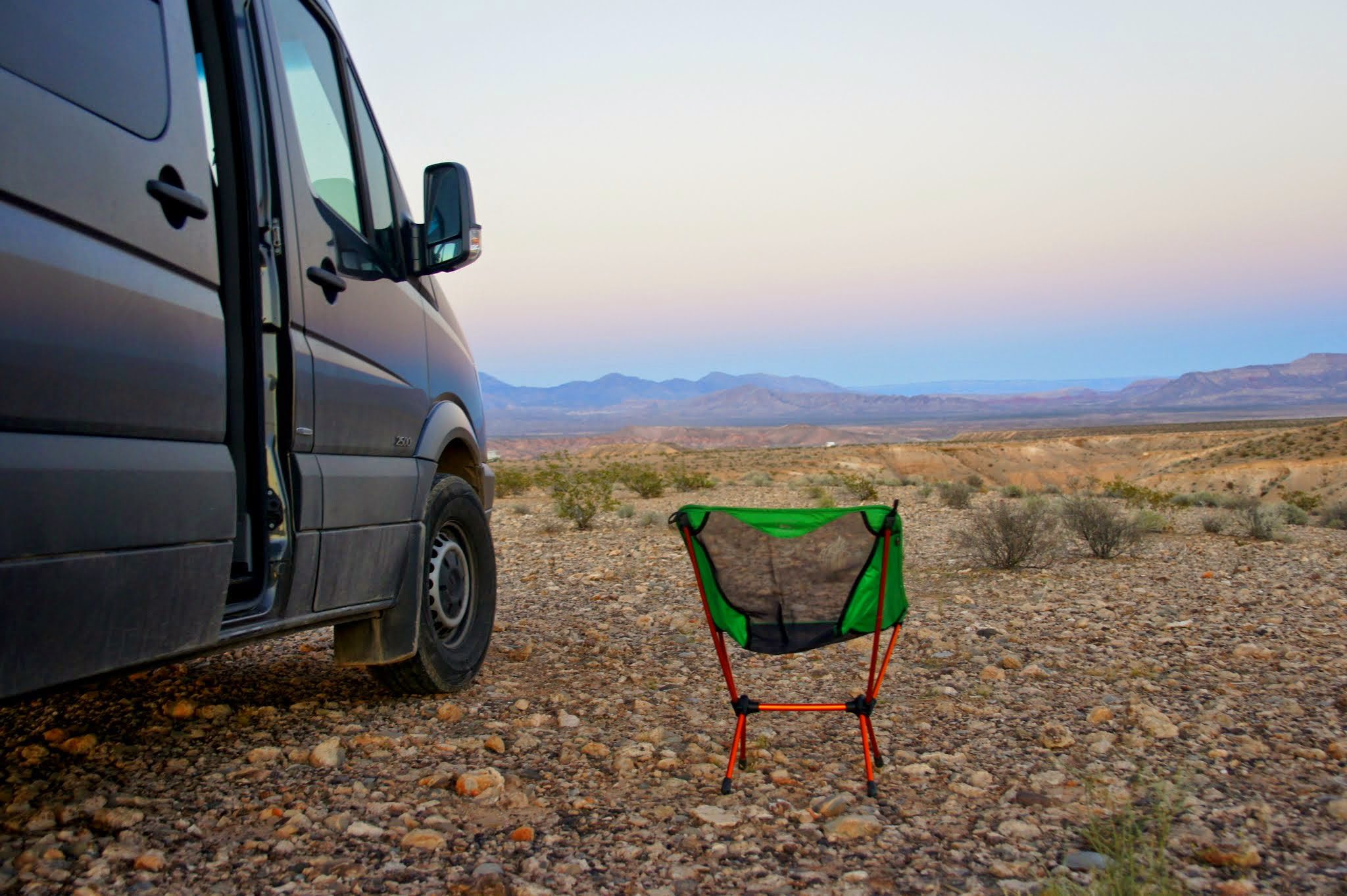
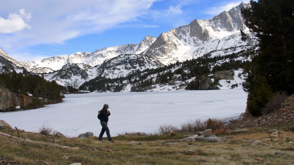
Enjoying free camping near the Valley of Fire in Nevada.
Navigation and weather
Google Maps – still my go-to. There are dozens of maps apps out there and I still think Google is the most solid, consistently accurate one. For overview maps to scope out an entire state, I still love a solid road atlas and use our National Geographic physical atlas frequently for trip planning.
GasBuddy – This app saves you money by showing gas station locations and the price of fuel at each. Save $10 by driving a few extra blocks. Fuel may be practically free at ~$2/gallon right now, but it won’t be so low forever!
Storm – look no further than this app. I denied how awesome it was for too long, but have found it’s the most accurate free weather app that I’ve used.
Locating trails
Singletracks – my go-to app for finding mountain bike trails. Find trailheads, scope out trail linkups, and see what people think of various rides. The online version is also good.
AllTrails and TrailLink – these are great for locating hiking and running trails.
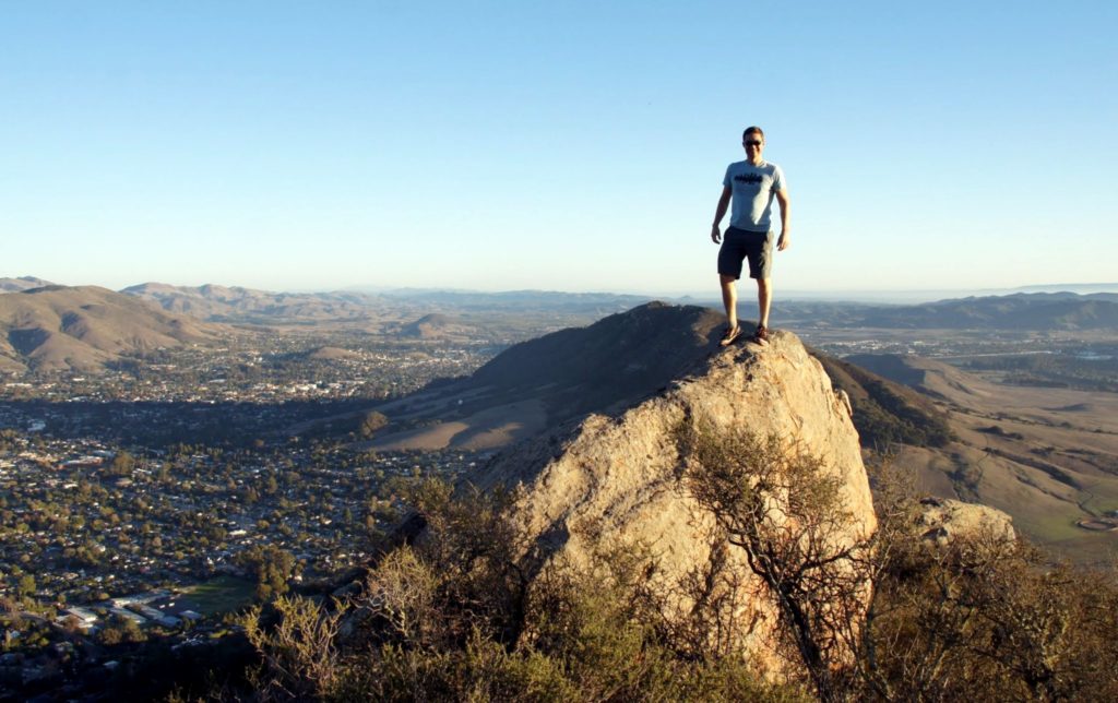
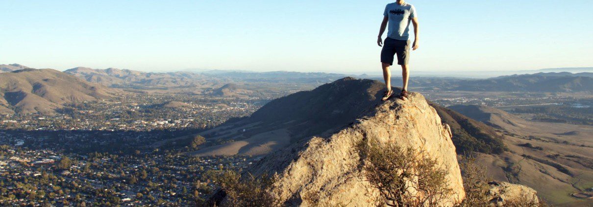
Hiking in San Luis Obispo, CA.
Driving entertainment
Spotify – need a driving mix? This is our favorite. Owning music is so 1995! (Pandora just bought Rdio, so they may be rolling out some good stuff too.)
Audible and Overdrive – audiobooks are fantastic. You can buy them via Audible, but I prefer downloading them from our library via Overdrive.
Podcasts – I usually use the basic podcast app on my phone. Stitcher is also a fun way to discover live radio shows and podcasts.
Finding wifi and a cell signal
WiFiMap – It can be a pain to find reliable wifi while you travel. This app points you to it. I usually use my phone as a hotspot, but sometimes you just want solid wifi.
Coverage – Need to catch a mid-week conference call while on the road, but have no idea if you’ll have a signal? The nomadic tech whizzes at Technomadia developed this overlay map to show you reception for various cell phone providers.
No coverage up in the Sierra Nevada!
Finding cool places and things to see
WikiTravel – Ever stood in front of a landmark and pondered what happened there? This crowdsourced tool solves that problem.
Oh Ranger! Parkfinder – Wondering which parks are nearby and what they’re all about? This will tell you. I don’t use it often, but occasionally it comes in handy, especially in an area we’ve never visited before.
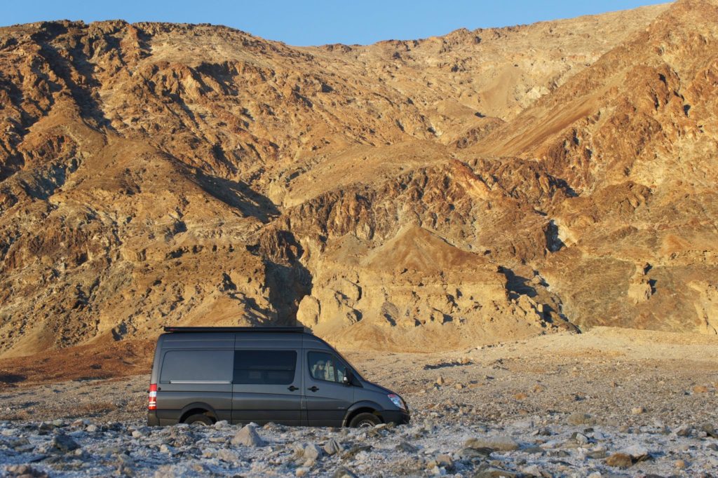
Badwater, Death Valley: The lowest point in the U.S. at 282 feet below sea level.
Photo management
Mylio – this app/desktop software syncs photos from your computer and backs them up online. I use this not just for iPhone shots, but for my entire photo and video database. I haven’t seen a better solution for multi-platform photo management. (Thanks to Brad Feld for writing about this.)
***
That’s all I’ve got. What are your favorite road tripping apps? Let people know in the comments or share this post with a road warrior friend!
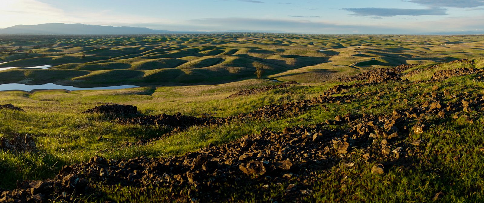
The rolling hills of Black Butte Lake in N. CA at sunset.